he Park is located on the eastern side of San Diego County, with portions extending east into Imperial County and north into Riverside County. It is about a two-hour drive from San Diego, Riverside, and Palm Springs. Many visitors approach from the east or west via Highways S22 and 78.
From the coast, these highways descend from the heights of the Peninsular range of mountains with spectacular views of the great bowl of the Colorado Desert. Highway S2 enters the park from the south off of Interstate 8.
Anza-Borrego Desert State Park is the largest state park in California. Five hundred miles of dirt roads, 12 wilderness areas and many miles of hiking trails provide visitors with an unparalleled opportunity to experience the wonders of the California Desert.

The park is named for Spanish explorer Juan Bautista de Anza and the Spanish word borrego, or bighorn sheep. The park features washes, wildflowers, palm groves, cacti and sweeping vistas. Visitors may also have the chance to see roadrunners, golden eagles, kit foxes, mule deer and bighorn sheep as well as iguanas, chuckwallas and the red diamond rattlesnake. Listening devices for the hearing impaired are available in the visitor center.
A Cholla Cactus may look fuzzy, but never touch it! Its spines are extremely sharp and have barbs like fishhooks. It's painful to get stuck by a Cholla. If an animal brushes up against a Cholla Cactus, a part of the stem will break off and stick to the animal's fur. It will eventually fall off, take root, and grow in the new location. This adaptation helps the Cholla to reproduce.
The Ocotillo spreads its roots out in all directions just below the surface to absorb water whenever it rains. The Ocotillo sometimes has no leaves and looks like a dead plant. But it is not dead at all! As soon as there is some rain the branches will be covered in bright green leaves.
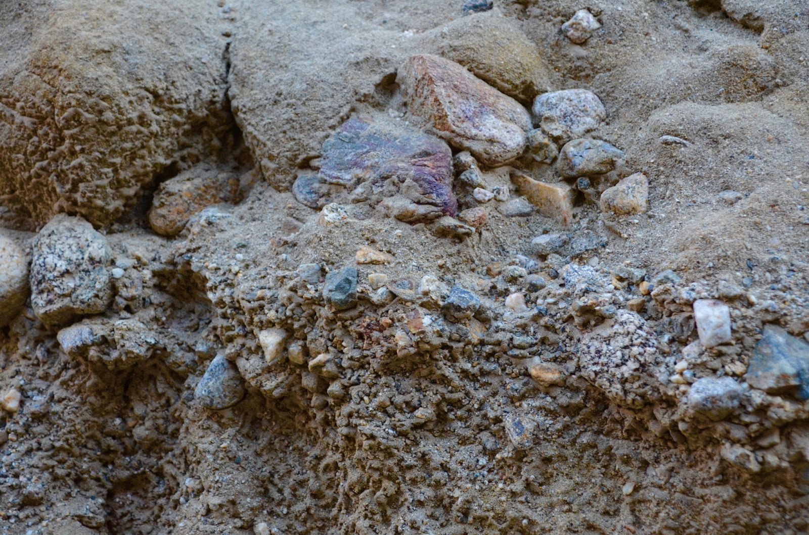
The slot canyon is a beautiful natural formation nestled in the heart of the Anza Borrego State Park, about an hour and a half East of San Diego.
Make no mistake, you will have to work to find this place. (Lucky we had a guide) While it is technically on the map, it is still difficult to find, as it is located about two miles down a dirt road that is very easy to miss.
The road itself was dirt and a little rough From where we parked it was about 200 yards to the start of the hike. There are no signs to direct you where to go, just know when you get to the area in the below picture you want to head left down into the canyon for the start of the slot.
Also, make sure that you mark your entrance as it can be hard to tell exactly where you entered when you come back out.
About three-fourths of the way you will reach the natural rock bridge. It is a great place to stop and take in the size of the canyon you are in.
After walking about 100 yards you will see the entrance to the start of the slot canyon. The canyon itself starts to get taller and taller around you, while the path gets more and more narrow.
The next mile or so is an amazing experience. You simply weave your way through the canyon as it gets to about 100 feet on either side of you. The canyon gets so narrow at some place that you actually have to go sideways.


No comments:
Post a Comment